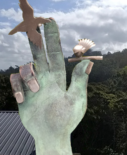
 | My interest in all things geospatial has spilled over to virtual reality and augmented reality. I made this project just to see what is currently possible to do using HTML5, javascript, and some rough and ready 360-degree panoramas shot with a phone app at home over lock-down. Pop in for a virtual scone and a cuppa. Viewed on a phone or tablet, it uses the compass and gyroscope to let you move around by swiveling and tilting your device. |
NZ Schools – Ministry of Education
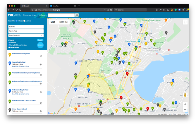
We built the original NZ Schools site ages ago, along with IOS and Android apps. I re-wrote it be responsive to the device it’s on, adapting to size and orientation.
The website allows users to search for schools based on location, name or other attributes.
GeoOp
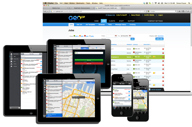
GeoOP is software as a service (SAAS) that tracks your mobile team in real time and manages their workflow. The scheduling system lets office-staff assign workers to jobs based on location and availability. Using mobile phones, tablets and GPS, GeoOp tracks the workforce and jobs in real-time.
Through either an iPhone or Android application, Mobile workers can see Jobs allocated to them with all the customer details, a map of how to get there and turn by turn driving directions. They can record time and notes against jobs, allocate parts, upload photos, record signatures, update the status and take credit card payments for jobs.
Medina
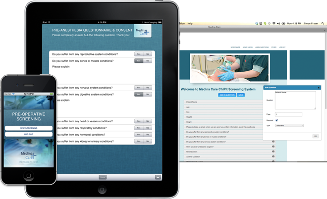
Medina is a company based in the Netherlands that specialise in provision of anaesthesia in medical operations. We worked with Medina to specify and build a specialist iPad and iPhone application to do pre-operative screenings of patients. Patients are guided through the process, filling out a questionnaire on an iPad in the clinic and watching a video informing them of the procedures they will be going through. From this point the application manages the requirements for information and communication between the clinic, patient and anaesthesiologist in a secure way to the point where the operation can be booked. A back-end web function lets Medina manage the questionnaire and consent process.
Mapfinder
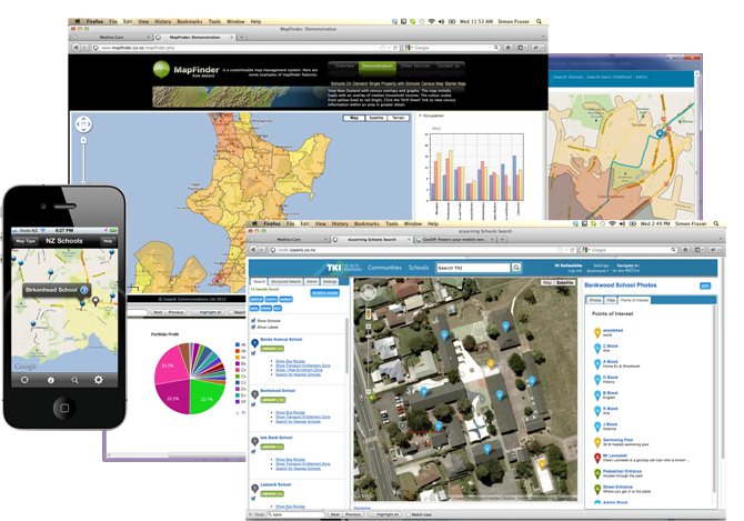
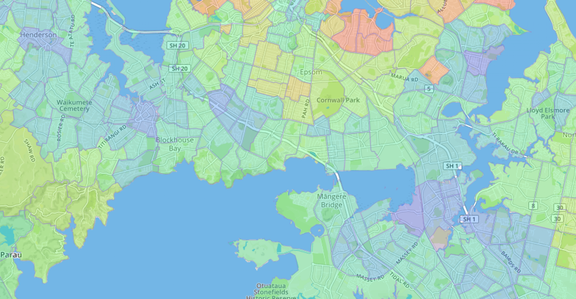
Mapfinder is our spatial platform designed to manage, query, and display spatial data on iPhone, Android and web-based maps. In a nutshell, it lets you search and combine statistical information with spatial data and present it in a visually compelling way.
